One Reality, Many Maps
The same reality can require multiple maps and models. Explore the difference between territory and representation, the role of purpose and idealization, and why model plurality is not relativism.
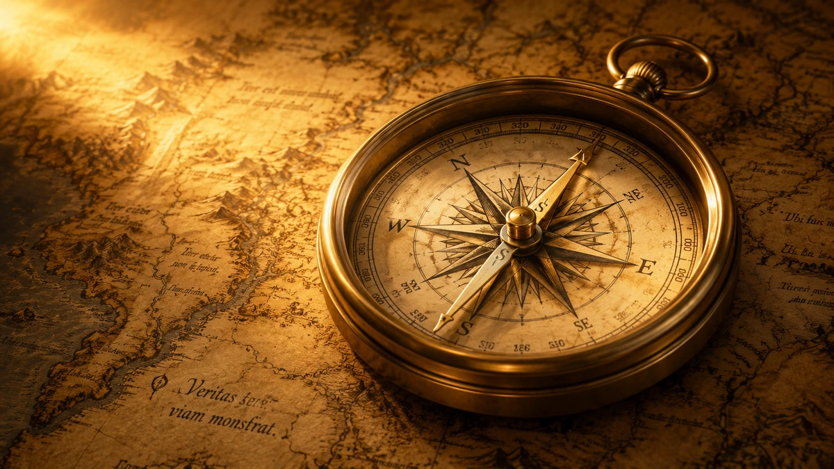
If we want to get from one part of a city to another, we can open a road map. If we are interested in public transport, we may look at a diagram of bus or rail connections. A geologist will represent the same area in terms of rocks and faults, a meteorologist in terms of precipitation and air pressure, and an urban planner in terms of land use.
All of these maps can describe the same city. Yet they are not the same.
Some show roads and omit geology. Others show elevation differences but say almost nothing about land ownership. A public-transport diagram may deliberately distort distances and directions if doing so makes the connections between stations clearer.
That does not mean there are several different cities simply because there are several maps. It means that the same reality can be represented in several ways — and that no useful representation contains everything.
One reality can allow for many different maps. Their differences do not by themselves make reality relative.
This distinction matters far beyond cartography. We use it whenever we describe the world with words, diagrams, statistics, theories, models, or categories. The question, then, is not only whether we have a map. The question is what our map shows, what it leaves out, what purpose it serves, and where it might mislead us.
The map is not the territory
In 1931, the Polish-American thinker Alfred Korzybski used a simple example in a lecture about the relationship between symbolic systems and reality. He asked us to imagine the actual arrangement of cities and a map that represented their order incorrectly. Such a map would be useless or even dangerous for travel.
From this he drew the famous distinction: the map is not the territory it represents. The map is a representation. The territory is what the representation attempts to describe.
If a map places Paris, Dresden, and Warsaw in the wrong relations to one another, its problem is not that it is merely a map. The problem is that its structure does not correspond closely enough to the structure of the territory for the purpose for which we want to use it.
This matters because the phrase “the map is not the territory” can itself lead us in the wrong direction. It does not mean that all maps are equally unreliable. Nor does it mean that we cannot know anything about the territory.
Quite the opposite. A map is useful because it represents some relationships in the real world well enough for us to navigate, predict, or decide.
A good map is not a copy of reality. It is a selective representation of reality that preserves what matters for a particular purpose.
Why a good map leaves things out
At first glance, it might seem that the best map would be the one containing the most information. But a complete map of a city that included the position of every stone, every tree, every car, every pipe, every person, and everything changing from second to second would be almost unusable.
A map becomes useful precisely because it reduces complexity. It selects some properties and leaves others aside.
A road map does not need the chemical composition of the asphalt. A flood-risk map does not need the names of every shop. A subway diagram can ignore exact distances between stations if its main purpose is to show where passengers can transfer from one line to another.
The same is true of scientific models.
Contemporary philosophy of science treats models as one of the central tools through which scientists represent and investigate parts of the world. A model does not have to be a miniature copy of a system. It may be an equation, a diagram, a computer simulation, an idealized mechanism, or another structure that highlights certain relationships while temporarily setting others aside.
Such simplification is not automatically an error. The error begins when we forget what was omitted, or when we use the model outside the domain in which it is good enough.
Simplification can be a condition for understanding. The problem begins when we mistake the simplification for a complete description of the world.
Literal maps show why purpose matters
Cartography gives us an almost perfect example of this principle. Earth's surface is curved, while a map on paper or a screen is flat. When we transfer a curved surface onto a plane, we have to use a projection.
But every projection distorts something.
The U.S. Geological Survey points out that no flat map of the entire Earth can perfectly preserve all four properties at once: direction, distance, area, and shape. Different projections therefore preserve different properties better than others.
The Mercator projection is conformal, so it preserves local angles and small shapes; paths of constant bearing, or rhumb lines, appear as straight lines, which was historically important for navigation. At the same time, it greatly distorts area toward the poles. Equal-area projections must accept other kinds of deformation.
So which projection is “correct”? The question is too crude. A better question is: What do we need it for?
If we want to compare the relative areas of countries, we will choose a different map than for some navigation tasks. If we are mapping a small local area, we can use a projection that would be unsuitable for a map of the whole world.
This does not mean that every projection is good for every purpose. It means that the adequacy of a representation also depends on the relationship between the property we want to preserve, the scale, and the purpose of use.
That lesson transfers directly to mental and scientific models.

The same reality can require more than one model
In science, the same phenomenon is often described using several models.
The reason is not necessarily that scientists do not know which model is “true.” Different models can emphasize different properties of the same system, operate at different scales, or answer different questions.
Ronald Giere described scientific representation pragmatically: scientists use models to represent particular aspects of the world for particular purposes. That emphasis matters. We do not evaluate a model only by how much detail it contains, but also by whether it represents the properties relevant to the research question well enough.
Sometimes a highly simplified model is more useful than an extremely detailed one.
If we want to understand a basic relationship between two variables, additional detail may simply obscure the pattern. But if we want a precise prediction in a specific situation, those same details may become decisive.
Discussions of idealization in philosophy of science therefore do not treat simplification as one single error that should always be removed. Some idealizations are temporary, others help isolate the most important mechanism, and still others lead to the use of multiple models for the same phenomenon.
This is similar to maps. Road, geological, and weather maps can differ without excluding one another. Each answers a different question.
Different maps do not mean everything is equally true
This is where a dangerous leap can occur. If there are several models, perspectives, or descriptions, someone may conclude that every view is merely “its own truth” and that there is no way to judge between them.
But that does not follow from the diversity of maps. A map can be too coarse for our purpose. It can contain outdated data. It can place a road incorrectly, omit a bridge, use the wrong scale, or depict relationships that do not exist in the territory at all.
A model can also be bad. It can make wrong predictions, systematically miss an important phenomenon, rest on unsuitable assumptions, or be used outside the range in which it works. So we need to distinguish between two very different claims:
- No single representation captures everything.
- All representations are therefore equally good.
The first claim is often reasonable. The second does not follow from the first.
Plurality of models is not the same as relativism. The territory still constrains which maps work and which fail.
If a map shows a bridge that is not there, reality does not change merely because the map is internally consistent. If a model predicts a result that repeatedly fails to appear when tested, the model must remain open to revision.
This is where this article connects directly with the article “From Belief to Verification”: in the end, a representation must be checked against evidence, not only against other representations.
When the map and the territory begin to blur
The greatest danger of models is not necessarily that they are simplified. The danger is that we forget they are simplified.
This can happen with numbers. An indicator becomes more important than the phenomenon it is supposed to measure. A test score begins to be treated as a person's entire knowledge. GDP becomes a synonym for the entire condition of a society. View counts become a synonym for the quality of content.
A measurement can be useful. But the measurement is not the measured phenomenon in its entirety. The same can happen with language.
When we label someone — conservative, progressive, skeptic, believer, rational, emotional — we select a few categories from a vast number of characteristics and compress them into a single word. The label may be meaningful in a particular context, but it can quickly become a map that we begin to mistake for the person.
Words are useful precisely because they group different cases under common concepts. Without that ability, we could not think or communicate. But every category emphasizes something and leaves something out. That is why two people can use the same word while referring to slightly different sets of characteristics. Or they can use different words for almost the same phenomenon.
Before we start arguing about the map, it can therefore be worth checking whether we are even pointing to the same part of the territory.
How to evaluate a map, model, or explanation
When we encounter a model, explanation, diagram, statistic, or another representation of reality, several questions can help.
- What is the territory? — What actual phenomenon, system, or event is the representation supposed to describe?
- What does the map preserve? — Which properties, relationships, or variables does it represent especially well?
- What does it leave out? — Which information has been excluded because of simplification, scale, or purpose?
- What purpose was it made for? — Prediction, explanation, navigation, comparison, decision-making, or something else?
- Where are its limits? — Under which circumstances, scales, or cases might it become misleading?
- How does it perform against the territory? — Do its expectations, relationships, and predictions match observation and evidence?
- Would another map reveal something important that this one does not? — Not so that we automatically replace the model, but so that we can check whether a relevant aspect is missing.
These questions differ from the question raised in the article “Blind Men and the Elephant”: “Have I mistaken the part for the whole?” Here we are asking something else: How was the whole translated into a representation, and what happened in that translation?
One reality, many maps
In earlier articles we repeatedly encountered the limits of human access to reality. Earlier articles showed that perception is not a perfect copy of the world, that we can mistake a real part for the whole, and that filters of selection stand between wider events and our attention.
This article adds another layer. Even after we gather information, we still have to organize it somehow. We make a map. Sometimes literally. More often in the form of an explanation, theory, category, statistic, or mental model.
We cannot live without maps. The world is too complex for us to process every detail at every moment. We need simplifications, hierarchies, and models. But the usefulness of a map grows with our ability to remember what it is.
It is not the territory. It is a tool for navigating the territory. The goal, therefore, is not to find one single representation that once and for all contains the whole of reality. Nor is the goal to collect an endless number of perspectives and declare them all equivalent.
The better approach is more demanding: use a map suited to the question, know its limitations, compare it with other maps when they reveal something important, and keep checking it against the territory.
Reality is the measure of maps. Maps are not the measure of reality.
When we preserve that distinction, we can hold two ideas at once: the world exists independently of our descriptions — and no description of ours captures it in full. The space for serious inquiry opens precisely between those two claims.
Sources and further reading
- Korzybski, A. (1931/1933). A Non-Aristotelian System and Its Necessity for Rigour in Mathematics and Physics. Lecture from 1931, later reprinted in Science and Sanity. Source
- Korzybski, A. (1933). Science and Sanity: An Introduction to Non-Aristotelian Systems and General Semantics. International Non-Aristotelian Library Publishing Company. Source
- Frigg, R. & Nguyen, J. (2026). Scientific Representation. Stanford Encyclopedia of Philosophy. Source
- Frigg, R. & Hartmann, S. (2025). Models in Science. Stanford Encyclopedia of Philosophy, Summer 2025 archived edition. Source
- Giere, R. N. (2004). How Models Are Used to Represent Reality. Philosophy of Science, 71(5), 742–752. DOI: 10.1086/425063. Source
- Elliott-Graves, A. & Weisberg, M. (2014). Idealization. Philosophy Compass, 9(3), 176–185. DOI: 10.1111/phc3.12109. Source
- U.S. Geological Survey. How are different map projections used? Updated 21 February 2023. Source
- U.S. Geological Survey (1993). Map Projections. DOI: 10.3133/70047422. Source