Tartary: Historical Name, Maps, Empires and the Modern Theory
Tartary is genuinely present on old maps, but a map label is not yet proof of one state. What did the term mean, which Eurasian polities actually existed, and how did a historical toponym become a modern theory of a lost empire and “mud flood”?
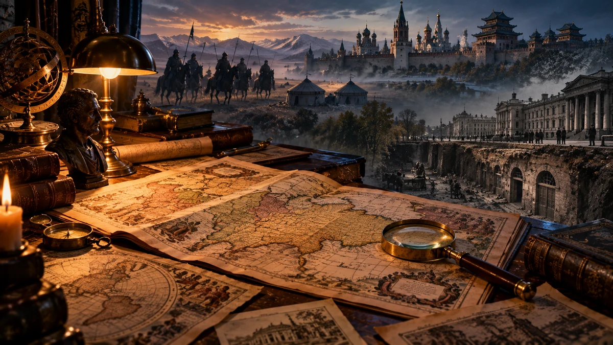
On European maps from the early modern period into the nineteenth century, enormous parts of Eurasia really are labelled Tartaria, Tartary, Grande Tartarie, Chinese Tartary, Independent Tartary, and related names. This is not an Internet invention. The maps survive in major libraries and cartographic collections, and the term formed part of Western geographical language for centuries.
But an old map answers only one question by itself: how the cartographer labelled space. It does not automatically tell us that the label represented one state, one people, one administrative system or one technologically unified civilisation. With Tartary this distinction is essential, because the same term was applied to very different regions and populations — from Crimea and the steppe north of the Black Sea to Siberia, Mongolia, Manchuria and parts of Central Asia.
Powerful empires and khanates certainly existed across these lands. The Mongol Empire connected an extraordinary portion of Eurasia in the thirteenth century, followed by the Golden Horde, Chagatai Khanate, Timurids, Shaybanids, Kazakh Khanate, Crimean Khanate, Bukhara, Khiva and other political formations. The Russian and Qing empires then gradually incorporated much of the territory that Western mapmakers had often grouped under Tartary.
The modern online theory goes much further. From old maps, monumental architecture, below-grade windows, world’s fairs, star forts and historical demolition, it infers a recently lost global “Tartarian Empire”, in some versions destroyed by a “mud flood” and then erased from history. This article therefore separates three things: the real historical toponym, the real Eurasian polities, and the modern lost-civilisation hypothesis.
The name on the map is real — but what did it mean?
The Library of Congress traces Tartary/Tartaria across Western maps from roughly the thirteenth through the nineteenth centuries. Its location and extent shift over time. On Ortelius’s 1570 map, Tartaria stretches across much of northern and central Asia. Later cartographers begin breaking the label into Muscovite, Chinese, Independent, Western, Eastern and Little Tartary.
That plurality is itself important evidence. If “Tartary” always meant one centralised state, we would expect more stable borders, one political name and consistent separation from neighbouring countries. Instead, cartographers modified the larger term according to political control, location and the level of European knowledge about different parts of Asia.
Historian James Cowles Prichard wrote in 1844 that Great Tartary, in a geographical sense, had never been appropriated to one particular tract and that its meaning was “vague and undefined.” Contemporary scholarship already recognised that this was a broad geographical designation rather than an equivalent of a state-name such as France or Portugal.
First rule for reading old maps: the presence of a name proves the presence of the label. Political unity requires additional evidence — administration, law, taxation, diplomacy, armies, coinage, inscriptions and archives.
Tatar, Tartar and Tartaria: how a European label became so broad
The word Tatar is historically connected with peoples and groups of the Eurasian steppe. After the Mongol conquests of the thirteenth century, European writers often applied the term much more broadly than a modern ethnographer would. The extra r in forms such as Tartar and Tartary was also associated in European usage with Greek Tartarus, the underworld — an example of how an outsider’s language can reshape a people’s and region’s name.
Thus “Tartar” in early European sources is not always a precise ethnic category. It may encompass Mongols, Turkic peoples, Manchus and other populations that the writer did not carefully distinguish. That is one reason why an area labelled Tartary cannot be converted directly into an ethnic or political map.
Mark Elliott’s study of Manchuria shows how the older and indefinite European idea of Tartary gradually gave way to more specific geographical identities during the eighteenth and nineteenth centuries. As cartographic knowledge, state borders and administrative systems became better documented, maps increasingly stabilised names such as Siberia, Turkestan, Mongolia and Manchuria.
The name was not necessarily “erased.” Much of its disappearance can be explained by greater geographical resolution: one broad external term was replaced by more specific names for regions, peoples and states.
What Ortelius, Delisle and eighteenth-century maps actually show
Abraham Ortelius published a map in 1570 titled Tartariae sive Magni Chami Regni typus — roughly, “Tartary or the realm of the Great Khan.” It is an attractive document for modern Tartaria theory, but it must be read in its own time. The Library of Congress notes that the Mongol Empire had already been fragmented for roughly two centuries and that the map places inside “Tartaria” territories that had never belonged to Mongol political rule.
Guillaume de L’Isle published his Carte de Tartarie in 1706, and a later 1757 edition was issued as Map of the Great Tartary. These maps do not show only one Tartary but several, including Independent Tartary, Chinese Tartary and Muscovite Tartary. The modifiers themselves show that the cartographer was not necessarily drawing one empire but different regions grouped under an older European geographical expression.
John Wilkes’s 1796 Modern Asia still uses “Western Tartary” and “Chinese Tartary,” while the north is increasingly labelled Siberia and divided into Russian regions. By an 1885 map of Central Asia, “Tartary” has disappeared and more specific political and regional names have taken its place.
| Map | What it actually shows | What it does not prove by itself |
|---|---|---|
| Ortelius, 1570 | a large regional Tartaria label and Great Khan imagery | one state with those borders in 1570 |
| Delisle, 1706/1757 | multiple Tartaries and more detailed regional divisions | a unified administration over all labelled areas |
| Wilkes, 1796 | Western and Chinese Tartary alongside Siberia and other names | a hidden global empire |
| Colton, 1885 | a more specific Central Asia without the old umbrella term | that the old name was deliberately erased |
A map is historical evidence of the cartographic knowledge and categories of its time. Only when combined with administrative and local records does it become evidence of specific political authority.

The empires and khanates that actually existed
Scepticism toward a single “Tartarian Empire” does not mean northern and central Eurasia was politically insignificant. Quite the opposite. The Mongol Empire was one of the largest contiguous land empires in history. Dynastic conflict and fragmentation produced major successor khanates including the Golden Horde, Chagatai Khanate, Ilkhanate and Yuan.
The political landscape continued to change in later centuries. Central Asia saw the Timurids and Shaybanids; the Pontic-Caspian world included the Crimean, Kazan and other khanates; later came the Kazakh Khanate, Bukhara, Khiva and Kokand. In the east, the Qing dynasty ruled Manchuria, Mongolia and Xinjiang, while Russia expanded across Siberia.
This helps explain why an old map could write “Tartary” across a huge zone without denying local states. A European mapmaker could use a regional umbrella, much as other eras used terms such as the “Indies,” “Arabia” or “Scythia,” and then place individual lands and peoples within it.
The strongest historical correction is not “nothing was there.” Enormous histories were there: empires, cities, trade routes, nomadic confederations, Islamic and Buddhist centres, Russian colonisation and Qing statecraft. The problem begins when all of them are rewritten as one undocumented world-state.
Why Tartary disappeared from maps
Modern theory often treats the disappearance of the word Tartary as evidence of historical erasure. The chronology of maps suggests a more ordinary process. Exploration of Inner Asia, Jesuit surveys in China, Russian conquest and administrative mapping of Siberia, and imperial competition in Central Asia supplied cartographers with more specific names and boundaries.
Elliott shows in particular how northeastern Asia moved from the older, indefinite “Tartary” toward the more specific cartographic identity of Manchuria. Russian state geography similarly stabilised Siberia, while nineteenth-century maps increasingly used Turkestan, Mongolia and the political names of individual khanates and empires.
This does not make maps politically neutral. Mapping is connected to power: empires survey, name and reorganise territory. Colonial and imperial names can overwrite older local geographies. But the politics of cartography is not the same thing as evidence that one advanced civilisation was removed from every other class of historical record.
The disappearance of a toponym can be an important history of power and knowledge. To become evidence for a destroyed empire, it needs an independent trace of that empire beyond the map-label itself.
Modern Tartaria: lost empire, mud flood and reset
Today’s Tartaria narrative is not one theory with one manifesto. In a 2025 peer-reviewed study, Moritz Maurer and Thierry Göckel examine the Tartarian Empire as a contemporary phenomenon at the intersection of alternative history, popular culture and conspirituality. Online versions can differ substantially from one another.
The most common core is roughly this: a technologically and culturally advanced civilisation once existed, and many monumental buildings now attributed to eighteenth- and nineteenth-century states were actually inherited from it. A catastrophe — often called the mud flood — supposedly buried part of its cities. Wars, demolitions and urban renewal then removed the remaining traces while textbooks reassigned authorship.
Other motifs include wireless or atmospheric energy, giants, orphan trains as alleged repopulation, world’s fairs as discovered rather than constructed complexes, and star forts as parts of a global technological network. Not every supporter accepts every motif, so it is misleading to treat the online community as one fixed creed.
Status: historical Tartary is a documented toponym. A recently erased, globally unified high-technology Tartarian civilisation is an additional hypothesis that requires its own independent chain of evidence.
Testing the common evidence: basements, fairs, domes and star forts
The most compelling parts of Tartaria videos are often real photographs. Buildings do have windows below present street level. Cities did raise street grades. World’s fairs erected astonishingly large palaces in short periods. Related classical domes and star-shaped fortifications do appear in many countries. But the reality of the photograph does not automatically validate the interpretation attached to it.
Chicago, for example, documented raising large sections of its streets in the 1850s by an average of roughly four to five feet, in places as much as eight, chiefly for drainage and sewer construction. Some buildings were raised; others remained below the new grade. Processes like this can create exactly the “buried” windows and doors that online posts present as evidence of a global mud catastrophe.
The monumentality of world’s fairs also survives in construction records. The Library of Congress holds architectural drawings for temporary structures at Chicago’s 1893 World’s Columbian Exposition. The U.S. National Park Service describes the use of staff — a plaster-and-fibre material — to give temporary timber buildings a massive stone-like appearance. A magnificent façade therefore does not, by itself, reveal how the structure was built.
Star forts have an equally traceable military genealogy. The National Park Service explains the bastion system as a response to artillery from the fifteenth century onward: projecting bastions removed blind spots and created interlocking fields of fire. Similar geometry on several continents can therefore result from the transmission of the same military technology, rather than from one hidden civilisation.
A useful evidence test is simple: does the anomaly require a new civilisation, or is there a documented mechanism that can explain it? If the latter exists, the larger theory must provide evidence stronger than the anomaly alone.
What would prove a lost empire — and what remains worth investigating
If a large, late-surviving and technologically advanced Tartaria had existed, we would expect convergent traces: its own administrative archives, diplomatic correspondence, law codes, tax records, standardised coinage, inscriptions, dated building contracts, archaeological stratigraphy, technological remains and records from neighbouring states, all pointing to the same political structure. A strange window or a single map would not stand alone; it would sit inside a dense, mutually reinforcing record.
No such unified record is currently established. That does not mean eighteenth- and nineteenth-century history is perfectly known or every urban layer is trivial. Much architecture was demolished, archives were lost, cities changed street levels, empires renamed regions, and photographs can open legitimate questions about construction and urban transformation.
The most useful lesson of Tartary may therefore be methodological. Take the old map seriously, but not literally. Investigate an architectural anomaly rather than instantly turning it into proof of a reset. Official explanations need sources; alternative explanations need the same. Research begins precisely where the real document and the large interpretation separate.
An open question is not an empty space for any answer. Tartary is the real history of a geographical name. The lost global empire is a hypothesis. The difference between them is not belief but the quantity and quality of evidence.
Sources and further reading
- Library of Congress, Amelia Raines (2025), “Tracking ‘Tartary’ on Western Maps”: history, etymology and changing cartographic extent of Tartary from early modern maps into the nineteenth century.
- Abraham Ortelius, Tartariae sive Magni Chami Regni typus, 1570 (Library of Congress): primary cartographic example of early-modern Tartaria / Great Khan geography.
- Guillaume de L’Isle, Carte de Tartarie, 1706 (Library of Congress): primary historical map.
- Guillaume de L’Isle / Covens & Mortier, Map of the Great Tartary, 1757 (Library of Congress / World Digital Library): primary map with multiple Tartary subdivisions.
- John Wilkes & Samuel John Neele, Modern Asia, 1796 (Library of Congress / World Digital Library): Western Tartary and Chinese Tartary in late-eighteenth-century geography.
- G.W. & C.B. Colton & Co., Central Asia, 1885 (Library of Congress / World Digital Library): later cartography using more specific regional and political labels rather than Tartary.
- Mercator / Hondius, Tartatia, 1607 (David Rumsey Historical Map Collection): map of northern and central Asia showing the breadth and imprecision of early-modern Tartary.
- John Cary, A New Map of Chinese & Independent Tartary, 1806 (David Rumsey Historical Map Collection): differentiated Tartary terminology in nineteenth-century atlas geography.
- Mark C. Elliott (2000), “The Limits of Tartary: Manchuria in Imperial and National Geographies,” Journal of Asian Studies 59(3): 603–646.
- James Cowles Prichard, Researches into the Physical History of Mankind, 3rd ed., vol. IV (1844), chapter “History of the Nations of Great Tartary”: period statement that Great Tartary was geographically vague and undefined.
- David Morgan (2009), “The Decline and Fall of the Mongol Empire,” Journal of the Royal Asiatic Society 19(4): 427–437: fragmentation into four khanates and their separate trajectories.
- Metropolitan Museum of Art, “Central and North Asia, 1400–1600 A.D.”: chronology of Timurids, Shaybanids and changing Central Asian political formations.
- National Library of Scotland, Encyclopaedia Britannica digitised collection: historical encyclopedia context and rights information for early editions in which Tartary was treated as a geographic category.
- Encyclopedia of Chicago, “Street Grades, Raising”: documented 1850s raising of Chicago streets for drainage and sewerage, with buildings raised or left below new grades.
- Library of Congress, World’s Columbian Exposition Administration Building architectural drawing, 1893: primary documentation of a temporary exposition structure.
- U.S. National Park Service, Vanderbilt Mansion, “The Pavilion”: discussion of “staff” material and temporary world’s-fair construction methods associated with the 1889 Paris and 1893 Chicago expositions.
- U.S. National Park Service, Castillo de San Marcos, “Bastions”: star/bastion fortification as a geometry developed in response to gunpowder artillery.
- Moritz Maurer & Thierry Göckel (2025), “The Tartarian Empire: Conspirituality, Pop Culture, and the End of the Past,” Nova Religio 29(1): 5–34: peer-reviewed study of the modern Tartaria phenomenon.
- Zach Mortice (2021), “Inside the ‘Tartarian Empire,’ the QAnon of Architecture,” CityLab/Bloomberg: documentation of modern online motifs including mud flood, monumental architecture and below-grade windows.
- Lead Stories (2023), “No Evidence of Old ‘Tartarian Empire’ or of ‘Mud Flood’ Resetting Society”: specialist comments and evaluation of common modern Tartaria claims.