Earth Energies and Sacred Sites: Ley Lines between Archaeology and Modern Mythology
From Watkins’s old straight tracks to Michell’s energy lines: what ley lines originally meant, what archaeology really finds in landscapes, and where modern mythology begins.
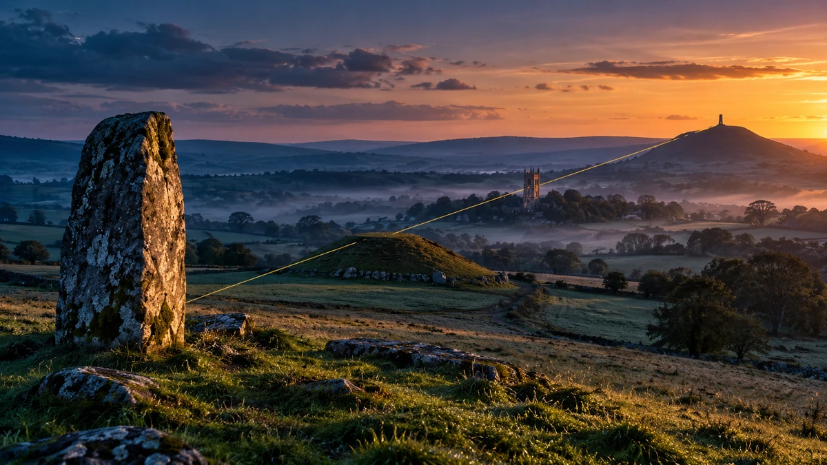
When people speak of ley lines today, many imagine invisible energy currents linking Stonehenge, churches, sacred springs, hilltops, and other significant places. That image has become part of modern esotericism, but it is not the same as Alfred Watkins's original proposal. When Watkins presented his “old straight tracks” in 1921, he was arguing for supposed prehistoric routes and sighting alignments across the landscape — not for measured currents of mysterious earth energy. [1][2][4]
The history of ley lines is therefore revealing because it combines three different things: real landscape archaeology, Watkins's historical hypothesis, and a later spiritual-esoteric reinterpretation. Archaeologists do document long avenues, stone rows, processional ways, and astronomical orientations. Earth also has a very real magnetic field and measurable local magnetic anomalies. But none of these facts by itself establishes a single energy network deliberately linking sacred places. [5][10][11][12]
What Does “Ley Line” Actually Mean?
The term is now ambiguous. In Watkins's original sense, a ley was a supposed straight alignment of old places and sighting points marking an early route through the landscape. In a later sense, a ley line became an invisible current of earth or telluric energy. A third usage is broader still: in popular culture, almost any line connecting several ancient or sacred places may be called a “ley line,” whether it is imagined as a road, astronomical axis, or energy channel. [1][8][9]
If these meanings are not separated, the evidence quickly becomes confused. Archaeological evidence for an old route is not evidence for an energy current; a measurable magnetic anomaly is not evidence for a Watkins alignment; and a similar orientation at two monuments does not by itself show that they belonged to one system. Each kind of claim therefore needs to be tested on its own terms.
Alfred Watkins and 1921
Alfred Watkins (1855–1935) was a Hereford businessman, photographer, inventor, and amateur antiquarian. In September 1921 he presented Early British Trackways, Moats, Mounds, Camps and Sites to the Woolhope Naturalists' Field Club. An expanded version appeared in 1922, and he presented the idea more fully in The Old Straight Track in 1925. [1][2][4]
Watkins believed that maps and field observations revealed recurring straight alignments among mounds, hillforts, old stones, river crossings, churches, wells, and other conspicuous points. In his interpretation, many later structures occupied or stood close to earlier marker sites, so traces of the original system could survive even where the routes themselves had disappeared. [1][2]
What matters is what this early hypothesis did not contain. Watkins did not present leys as physical currents of invisible energy. His model was primarily topographic and historical: early travellers supposedly navigated long directions with visible markers and relatively straight routes.
How Watkins's “Old Straight Track” Was Supposed to Work
Watkins's idea depended on visibility. A traveller moving toward a distant point would need intermediate markers; mounds, stones, trees, or other conspicuous features were therefore supposed to have marked ridges, crossings, and important junctions. In his system, a line mattered because it connected such “sighting points.” [1][2]
A contemporary Nature review in 1922 already noted that a generally straight route between distant objectives is not in itself surprising. The decisive question is whether the intermediate points really form an independent, chronologically coherent system. Some of Watkins's markers could have resulted from an already existing route, while others belonged to very different historical periods. [3]
This is the central methodological difficulty: if prehistoric barrows, Roman roads, medieval churches, later crosses, and natural summits are all placed in the same dataset, a geometric alignment may exist without there ever having been a single historical plan connecting all of them.
Archaeology Really Does Find Long Alignments
Criticism of ley lines does not mean that straight or directional structures in prehistoric landscapes are imaginary. Historic England specifically documents cursus monuments, avenues, and stone alignments that can extend for hundreds of metres or kilometres and are often associated with other ceremonial and funerary monuments. These are archaeologically recorded and dated structures whose functions are assessed from context. [5]
Stonehenge is a useful example. Its Avenue connects the monument area with the River Avon and was created approximately between 2345 and 2200 BCE. It may have served a processional role, although English Heritage explicitly notes that there is no direct evidence for frequent use as a path. Stonehenge and part of the Avenue also relate to solstitial directions — a real, measurable relationship within a specific prehistoric landscape. [6][12]
This is the important distinction: archaeology does not reject alignments. It requires points to be chronologically, spatially, and functionally connected by evidence, not merely by a ruler laid across a map.

Why Straight Lines on Maps Can Be Dangerously Persuasive
In a landscape dense with churches, barrows, crosses, hilltops, springs, and archaeological sites, an enormous number of lines can be drawn. The more points are allowed and the wider the tolerance around a line, the more apparently impressive alignments will appear. It is therefore not enough to notice a line first and then list everything that lies approximately along it. We need predefined criteria and a comparison with how many similar alignments would be expected by chance. [7]
Williamson and Bellamy's Ley Lines in Question focused precisely on point density, chronological mixing, and the statistical problem of chance alignments. Their critique does not prove that no ancient route was ever straight; it shows why a cluster of points on a map does not by itself establish a unified system. [7]
A similar issue appears in archaeoastronomy. If a monument offers many possible edges, axes, and observation points, and the horizon offers many astronomical events, a “hit” can be found retrospectively unless strict selection rules are used. Good analysis therefore defines in advance what counts as an axis, how much error is allowed, and whether the proposed orientation fits the monument's date and context. [13]

From Tracks to “Earth Energy”
Watkins's proposal lost much of its initial momentum after his death, but it was revived in a very different form in the 1960s. Leys became connected with UFO culture, dowsing, geomancy, and ideas of hidden terrestrial energies. Academic histories of the Earth Mysteries movement stress that this was a transformation, not simply a continuation of Watkins's theory. [8][9]
John Michell was especially influential. The Flying Saucer Vision (1967) and particularly The View Over Atlantis (1969) joined ancient sites, sacred landscape, geomancy, and telluric currents into a new synthesis. Michell compared leys with Chinese “dragon currents” and helped popularize the idea that important sanctuaries occupy energetic pathways. [9]
From this point onward, ley no longer necessarily meant Watkins's straight prehistoric route. It could mean a spiritual current, a dowsed line, or a symbolic connection among sacred places. Many present-day ideas about ley lines therefore tell us at least as much about late twentieth-century spiritual culture as they do about Watkins's original hypothesis.
Dowsing, Geomancy, and Sacred Landscape
Within the Earth Mysteries tradition, landscape became more than a collection of archaeological objects. Hills, springs, churches, stone circles, and old routes were read as parts of a living landscape that could be approached intuitively, symbolically, or through dowsing. Hutton treats this movement as a modern cultural and religious formation shaped by new relationships with prehistoric monuments and nature. [8]
Such a tradition can be studied historically even if its metaphysical claims are not accepted as physical facts. People may genuinely experience a place as sacred, healing, or powerful; those experiences matter to religious history, folklore, and anthropology. But a subjective experience or dowsing response is not the same kind of evidence as a magnetometer reading, a radiocarbon date, or stratigraphy.
Earth's Magnetic Field Is Real — But That Does Not Make It a Ley Grid
This is where an easy conceptual leap occurs. Earth has a real magnetic field that varies through time and space. Geologists measure local magnetic anomalies; the USGS explains that they are caused mainly by differences in magnetic minerals within rocks, their depth, and their geometry. NOAA compiles global anomaly grids from satellite, ship, and airborne measurements. [10][11]
So the phrase “earth energy” is not completely detached from real natural phenomena — magnetic, electrical, gravitational, and other physical fields certainly exist. But the next step has to be measurement. If a ley line is supposed to be a geophysical anomaly, we must define in advance what is being measured, with which instrument, in which units, and what pattern the hypothesis predicts. [10][11]
No established evidence currently shows that Watkins's leys or later esoteric ley lines correspond to a distinctive geophysical network systematically joining sacred sites. The reality of geomagnetic anomalies therefore does not by itself validate the esoteric interpretation.
Why Sacred Places Can Still Be Genuinely Connected
Rejecting a universal energy grid does not make relationships among sacred places meaningless. People choose locations according to visibility, water, passes, hilltops, fertile land, territorial boundaries, celestial directions, old routes, and memory. When a place remains important for centuries, later sanctuaries may reuse an already significant location. [5][6][12]
Real axes and chains of places can therefore emerge. An avenue may link a river and a monument; a stone row may terminate at a burial cairn; a road may follow a pass through the terrain; a sanctuary may occupy an older ceremonial site. Each case can be investigated archaeologically on its own evidence. [5][6]
This may be part of what makes ley lines so attractive as an idea: they express the intuition that places are not isolated. That intuition can be right even when a particular geometric or energetic explanation drawn across the map is not.
So What Can We Say About Ley Lines?
The strongest historical conclusion is that we are dealing with several successive ideas. Watkins proposed a network of straight ancient tracks and sighting points in the 1920s. Archaeology shows that prehistoric landscapes really do contain intentional avenues, stone rows, routes, and astronomical orientations, but this does not establish Watkins's broad network. In the 1960s, Earth Mysteries writers and John Michell transformed leys into a far more esoteric concept of earth energies. [1][5][7][8][9]
Science can now measure terrain, geology, and the geomagnetic field with a precision Watkins could not have imagined. That allows a clear boundary: if a physical energy line exists, it must produce a repeatable measurable signal. No general ley network of that kind has yet been established. [10][11]
Yet the story is not empty. Ley lines are an important example of how an observation of landscape becomes a hypothesis, a hypothesis becomes a cultural movement, and a cultural movement becomes modern mythology. At the same time, they remind us that ancient landscapes really can be planned, oriented, and symbolically connected — but each connection has to be demonstrated in its own right.
Sources and further reading
- Primary source for Watkins’s early theory of straight tracks, sighting points, and “leys”. Source
- Primary/bibliographic source for Watkins’s expanded theory and publication chronology. Source
- Contemporary scientific review distinguishing plausible straight directions from the question of whether intermediate points establish a system. Source
- Institutional biographical chronology of Watkins, his 1921 lecture, and the original trackway interpretation. Source
- Archaeological overview of real cursus monuments, avenues, stone alignments, and their contexts. Source
- Dating of the Stonehenge Avenue, its relation to the River Avon, and cautious assessment of possible processional use. Source
- Open-access archaeological critical treatment of Watkins’s theory, later energy reinterpretation, and evidentiary problems in ley claims. Source
- Academic history of the Earth Mysteries movement as a modern cultural and religious formation. Source
- Academic source for the later transformation of ley theory into telluric-energy concepts and for Michell’s influence. Source
- Authoritative explanation of magnetic anomalies arising from magnetic minerals and geologic structure. Source
- Global data framework for measured magnetic anomalies from satellite, ship, and airborne observations. Source
- Official overview of monument relationships in the Stonehenge landscape and its solstitial orientation. Source
- Example of testing claimed alignments with predefined criteria and pseudo-random simulations; used as a methodological parallel, not as a ley-line study. Source